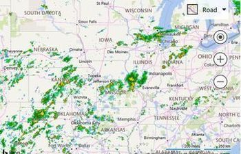
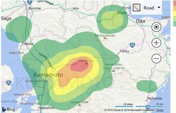
Wondering what the Weather will be doing in your region? MSN Weather – Shows the path, points along the path with additional information, timeline intensity, plus additional information. And guess what? THey are overlaying this information on a Bing Map and you can too! We have some helpful samples on customizing the map for your use case.
 |
Animated Weather Radar Map For this example the weather radar tile service are from the Iowa Environmental Mesonet of Iowa State University and animates. | |
 |
Contours from GeoJSON data This example downloads earthquake intensity contour data from the USGS for earthquake M7.0 - 1km WSW of Kumamoto-shi, Japan. | |
 |
Fully Custom Drawing Toolbar Create your own fully custom drawing toolbar and controls. |

