Microsoft Maps has a dedicated Maps AI (artificial intelligence) team that has been taking advantage of Microsoft’s investments in deep learning, computer vision, and ML (machine learning). Applying all that cool tech to mapping has yielded many useful datasets and our latest worldwide dataset includes a whopping 1.2B building footprints and 174M building height estimates from Bing Maps imagery between 2014 and 2023 including Maxar, Airbus, and IGN France imagery.
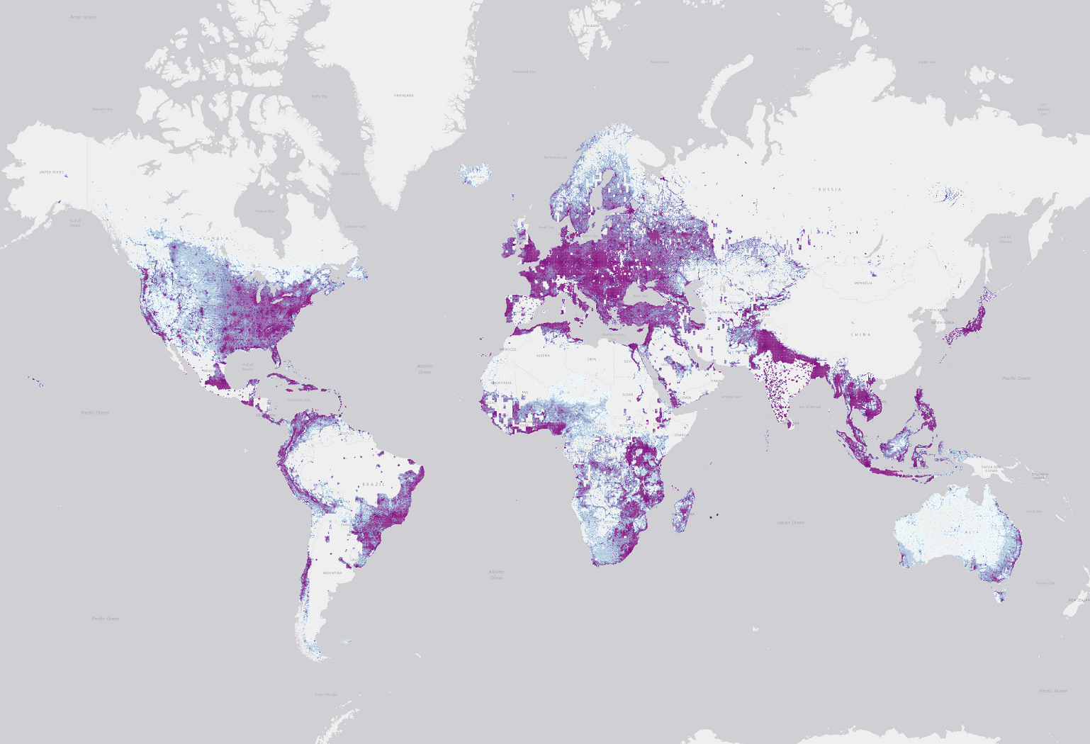
This release brings with it all the building footprint data from prior releases and includes the following regions:
 Image Showing Global Building Footprints Coverage
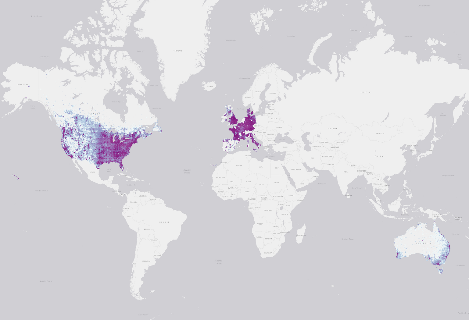
...and brings a much-requested new dimension, building heights, for a subset:
 Image Showing Global Building Footprints with Estimated Height Coverage
You can find out all the great details and download it to use yourself from the open-source GitHub repository at GitHub - microsoft/GlobalMLBuildingFootprints: Worldwide building footprints derived from satellite imagery. If you want to see these building heights in action, check out the 3D view in the Windows Maps Application. You can also explore the dataset through Microsoft’s Planetary Computer: Microsoft Building Footprints | Planetary Computer.
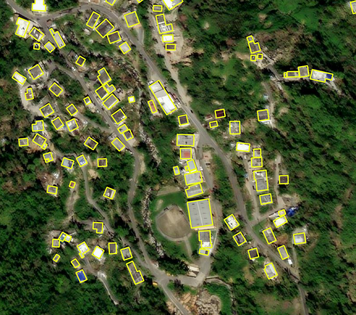
 Sample Showing Global Building Footprints over Bing Maps Imagery
Our Bing Maps computer vision team is hard at work so expect to see more remarkable things from them soon! To find out more about some other datasets from this team you can check out some of our previous blogs like:
- Microsoft Releases 130 million Building Footprints in the USA as Open Data | Maps Blog (bing.com)
- The Importance of Open Source Street Map Data | Maps Blog (bing.com)
- Discover New Roads with Bing Maps | Maps Blog
- Bing Maps Team

