Open source street map data is helping smaller organizations and even individual developers build incredible mapping solutions. This collaborative approach to mapping has completely revolutionized the way we look at app development, whether that’s through high-quality APIs and open street map assets being uploaded to GitHub for free, or OpenStreetMaps’ contribution to humanitarian projects. Here’s why it’s worth paying attention to open source mapping.

Why does open source matter?
An increasing number of organizations are switching to open source software for the many benefits it offers over more restricted proprietary platforms–and they certainly outweigh the downsides.
-
Cost: Accessing open street map data costs nothing. Being able to tap into a reservoir of high-quality location data for free is an incredible advantage for businesses that can’t spare the capital to pay for restrictive usage licenses. Similarly, nonprofits and grassroots organizations can instead put that money to better use with the applications they’re building. Low-cost mapping solutions are an important step in achieving global digital equity.
-
Collaboration: Time is of the essence when you’re trying to build a robust app, whether it’s for optimizing supply chains or making waves with a mixed reality experience. Even talented developers need time to acclimate to newer APIs, and human error can abound if you work in isolation.
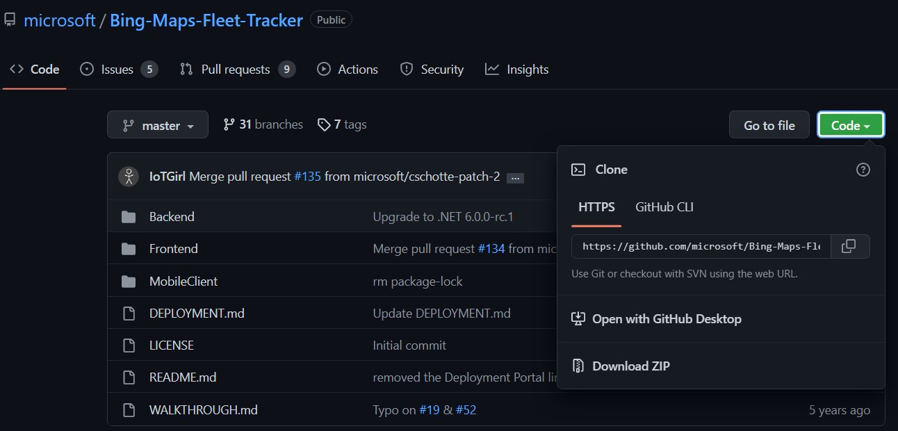
Open street mapping APIs can help cut those development times down by making it easy to work with experts worldwide. Bing Maps makes its APIs available on GitHub for free. Both budding and seasoned developers can access this open street map data at will, refining it with their ideas and setting up new projects that build on what has come before. -
Transparency: The traditional closed-loop approach to software usage opens smaller businesses up to exploitation and unfair practices. Closed source usage agreements aren’t just costly, they can also be full of murky jargon that’s hard to decipher and further prolongs the development process.
By contrast, open source street map software like Bing Maps API welcomes both scrutiny and collaboration. Contributors to the platform only require a simple Contributor License Agreement which is automatically processed after submission, freeing developers up to focus on building their next great app with open street map data.
Transparency and performance are two sides of the same coin. Geolocation problems that took hundreds of manpowers to solve are now standard tools that developers can add to their apps by just copy-pasting code.

Open source maps are perhaps most well-known for their application in humanitarian projects, but they are equally as important for enterprise-grade applications for internal use. For example, developers are relying on open source spatial data toolkits to use complex features like batch geocoding. Instead of combing through long lists of customer addresses and individually turning them into geographic coordinates for geolocation marketing, businesses can now get results in a matter of minutes.
Bing Maps API’s approach to open street map data
Reliable and high quality open source street map APIs are hard to come by. Slow loading maps and error-prone geocoders can throw a wrench in the plan when you’re trying to build a mapping experience with minimal resources. Bing Maps API was designed to solve these problems with open collaboration and constant updates.
AI-powered building footprints
Building footprints are map polygons that closely trace buildings as they stand in the physical world. Footprints help nonprofits and government organizations get a better understanding of urban and rural development. They accurately reflect ground realities and trends that would be hard to observe on the ground.
High quality building footprints are challenging to create due to the immense scale of the task. Bing Maps API helps by sourcing updated open street map data for underserved areas, and also uses AI-assisted mapping to identify building footprints

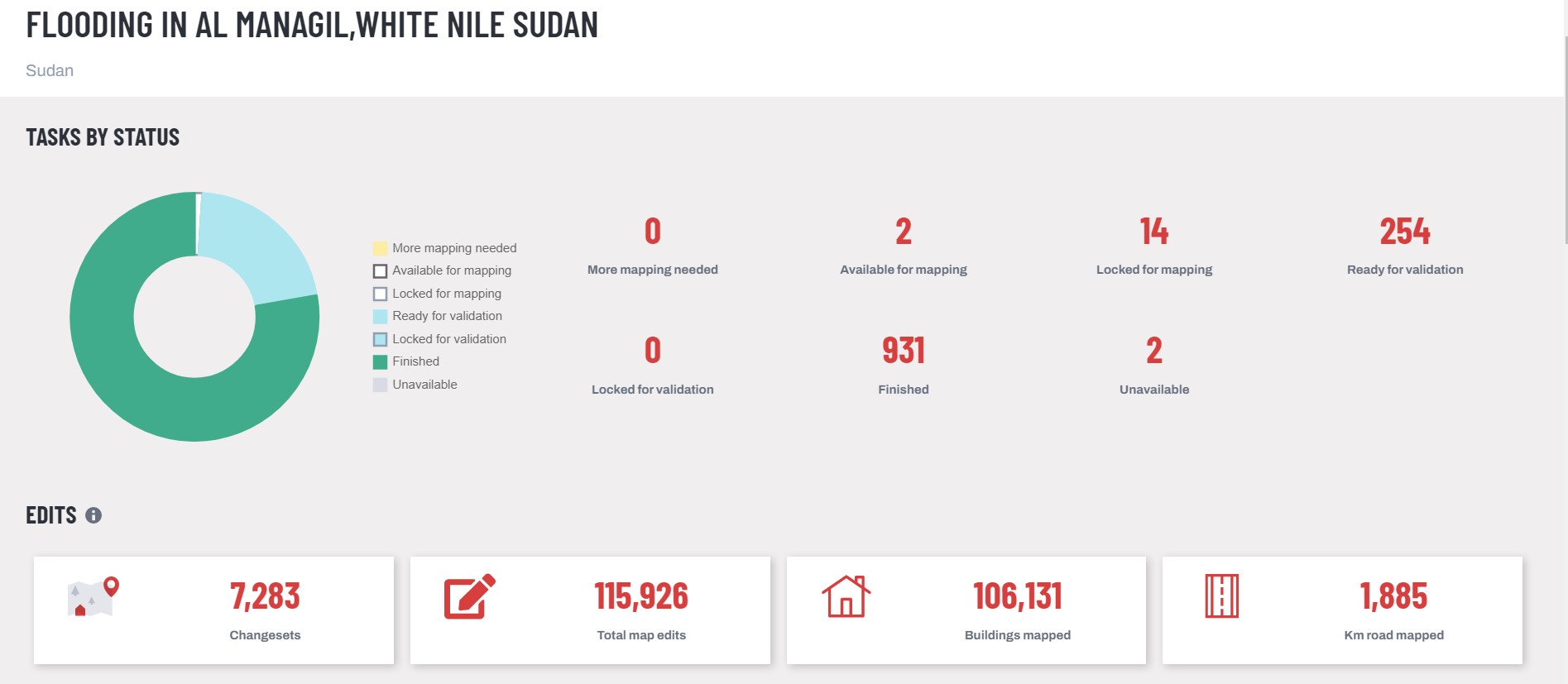
Anyone can pitch in with an open street mapping API, and this is best seen through humanitarian efforts such as the Missing Maps initiative, a collaboration between organizations like the Red Cross and OpenStreetMap. Missing Maps makes the most of open source mapping, allowing volunteers from across the world to work together in identifying map features in vulnerable areas for humanitarian action.
Developer resources
Our open source approach also extends to developer resources. Developers are encouraged to build with open street map data by using freely editable code samples, and documentation that outlines every step of the process.
A platform that builds with you
The open source mapping community is growing bigger every day. Join in and develop feature-rich apps by tapping into Bing Maps API’s open source street map data. Create a free key today to get started, or learn more about the platform by talking to an expert.
FAQ
How can I find out about updates to open street map data?
We’re constantly growing our open source library of location data, you can stay up to date with what’s new by checking out the Bing Maps API News page. You’ll find informative blogs and updates on exciting new events to help you stay ahead of the curve.
How can I contribute to open source projects?
There are tons of ways to join in! As a developer, you can build with Bing Maps API and contribute to the GitHub, or, you can contribute to an open source project like Missing Maps by helping volunteers trace imagery in high-impact areas.
Can I use open source street map APIs as a beginner?
One of the biggest benefits of open street map data is that you don’t have to be an expert programmer to use it. Tools like the V8 Interactive SDK are a fun way to get acquainted with web mapping, featuring editable code samples and more

