NOTE: An updated version of this article can be found in the Microsoft Maps Blog.
https://www.microsoft.com/en-us/maps/news/selecting-the-best-site-for-new-constructionSelecting new sites for expansion, whether that’s a new distribution center or just another office, is a natural part of growing a business. Along with building site plans, managers have to weigh several different factors to find the ideal new location, including commute times for existing and new employees, proximity to competitors, and access to suppliers.
Bing Maps API gives you the tools to do all that and more, powered by location intelligence and spatial data.
Site planning with location intelligence
Consider the scenario where you are planning to move your office to a new city unfamiliar to you or anyone on the team. Scouting locations for site selection can be a challenge in these scenarios if you don’t have capable mapping software for assistance. In the past, members would have to make repeated trips to build a detailed site plan and narrow down the list of potential office spots. Not only would this be very costly, but it would also take a lot of time to arrive at a final decision, without any guarantees of success.

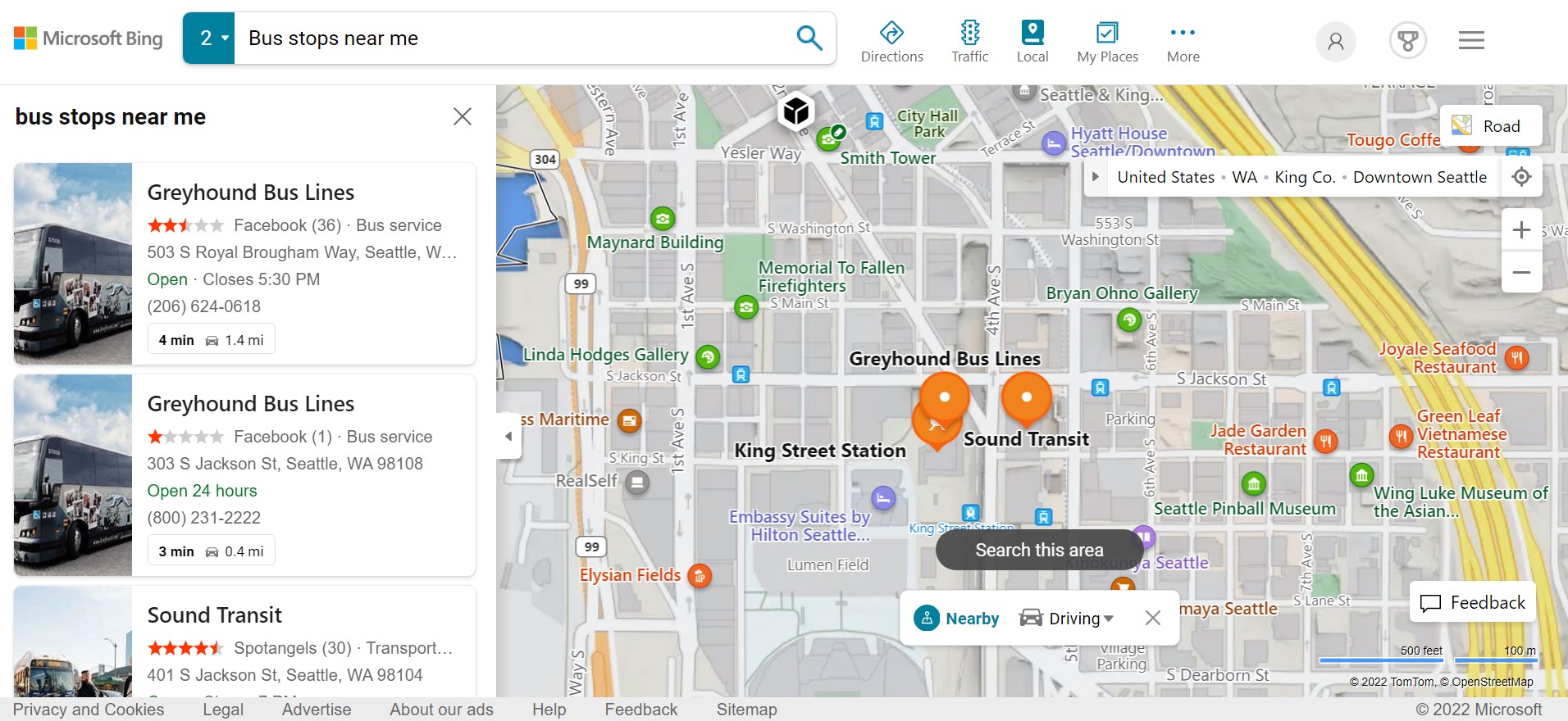
Instead, businesses can now use tools like the Local Search API to research sites before selection and make an informed decision without even having to leave the office. Wondering if there are restaurants near an office space? Query the API with a single search term to generate a list of all nearby restaurants, ordered by proximity.
Competitor analysis is as important as having the latest amenities available nearby. It’s tempting to select a site that’s well connected to public transport and cheap accommodation, but it still might prove to be the wrong choice if there are already competitors in place at that spot. You can avoid these costly mistakes by building optimized site plans with Bing Maps API’s local business dataset and ensuring that your business expands to the best possible locations.
Try it out for yourself! A team of passionate developers built Seeingit using the Local Search API. This website allows both tourists and community members to look up local points of interest such as restaurants, hotels, and entertainment spots. Seeingit is a great example of how Bing Maps API can improve site selection through location intelligence.
Learn more about how the team built Seeingit and find out how you can create your own solution by reading the full customer story.
Calculating commute times
Mapping out hotels and other accommodations is a great first step in building a great site plan, but not every employee will relocate. Similarly, newer employees might choose to commute instead of moving closer to the newly selected site. In these cases, managers have to assess the overall change in average commute times for their employees, as a significant increase in travel time is a leading reason for employees leaving in the long term.
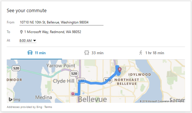
The Distance Matrix API can be useful here. You can accurately calculate travel times for each employee from their respective residences to the new site while also accounting for different methods of transportation, whether that’s driving, walking, or public transit. This API also supports customizable parameters, so you can enter different start and end times and also account for historical traffic data.
Using predictive traffic can add a ton of helpful context when analyzing commutes and building site plans, as locations that are closer to the office might not necessarily translate to shorter travel times due to congested routes.
Case Study: Commute Analysis with The Distance Matrix API
Tasked with selecting the ideal site for collocating several offices, a Microsoft subsidiary had to discover a way to analyze commutes for all of their staff. This task was further complicated by the fact that employees naturally used multiple modes of transportation. Some would prefer to drive while others would often take the bus or even just walk, and planners also had to consider traffic conditions for a fair assessment.

The Distance Matrix API turned out to be exactly what the team needed to pull off the perfect move. Planners would plot employee commutes from their homes to the different site locations on the list, and the API would then quickly calculate the average travel time to each site, revealing a clear winner. Read the full case study for in-depth data and examples that provide more insight into their site selection process.
Make better decisions with Bing Maps API
Build improved site plans and scale your business with actionable insight that drives better decisions. Whether you’re selecting sites for relocation or optimizing routes for hundreds of different agents, Bing Maps API equips your business to excel with intelligent mapping. Get started by creating a key today.
FAQ
Is there a way to build a better itinerary for the new site?
Yes, you can benefit immediately from selecting a more well-connected site by optimizing your agent itineraries. The Multi-Itinerary Optimization API helps you take full advantage of better connectivity by streamlining routes for hundreds of agents, while also considering shift schedules and road restrictions.
How can I improve fleet management for multiple sites?
Bing Maps API provides businesses with a comprehensive suite of logistics solutions. You can build customized routes for commercial vehicles by entering vehicle specifications with the Truck Routing API, or snap an array of GPS coordinates to accurate paths using the Snap-To-Road API.
Learn more about optimizing fleet management by checking out our logistics page.
Can I use aerial imagery to build site plans?
Absolutely! Bing Maps API uses high-res location data. You can switch over to aerial imagery with resolutions as high as 60-30 cm/pixel, or even get an immersive ground-level look with Streetside imagery. This feature is particularly useful for site selection, as standard road maps might not reflect the current status of a location.

