
We are excited to announce the release of new imagery for Canada. The area covered in this latest update is 3 million square kilometers of eastern Canada.
Below are just a few examples of some of the sights in our imagery update:
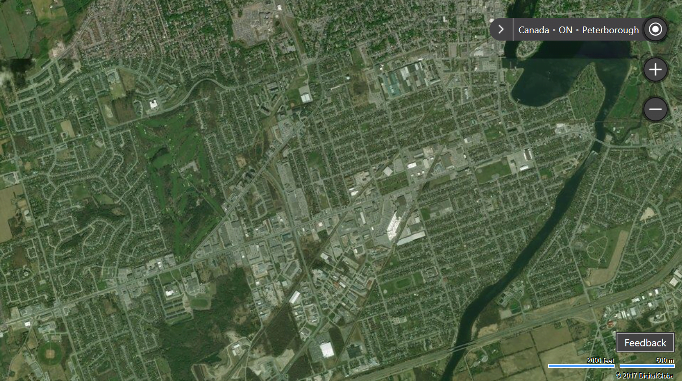
Peterborough, Ontario
Nicknamed “The Electric City”, Peterborough was the first town to use electric streetlights in Canada. Located in Central Ontario and harkening back to its technologically pioneering history, Peterborough is also home to operations of several large multinational companies and local technology businesses.
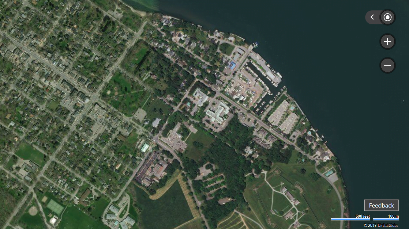
Niagara Falls, Ontario
Niagara Falls, Ontario, is located on the western bank of the Niagara River that flows into the famous Niagara Falls. The Niagara Falls make up three large waterfalls on the border between Ontario, Canada and New York, United States. Not only known for their natural beauty, the falls are also a source hydroelectric power, and are a popular tourist destination on both sides of the border.
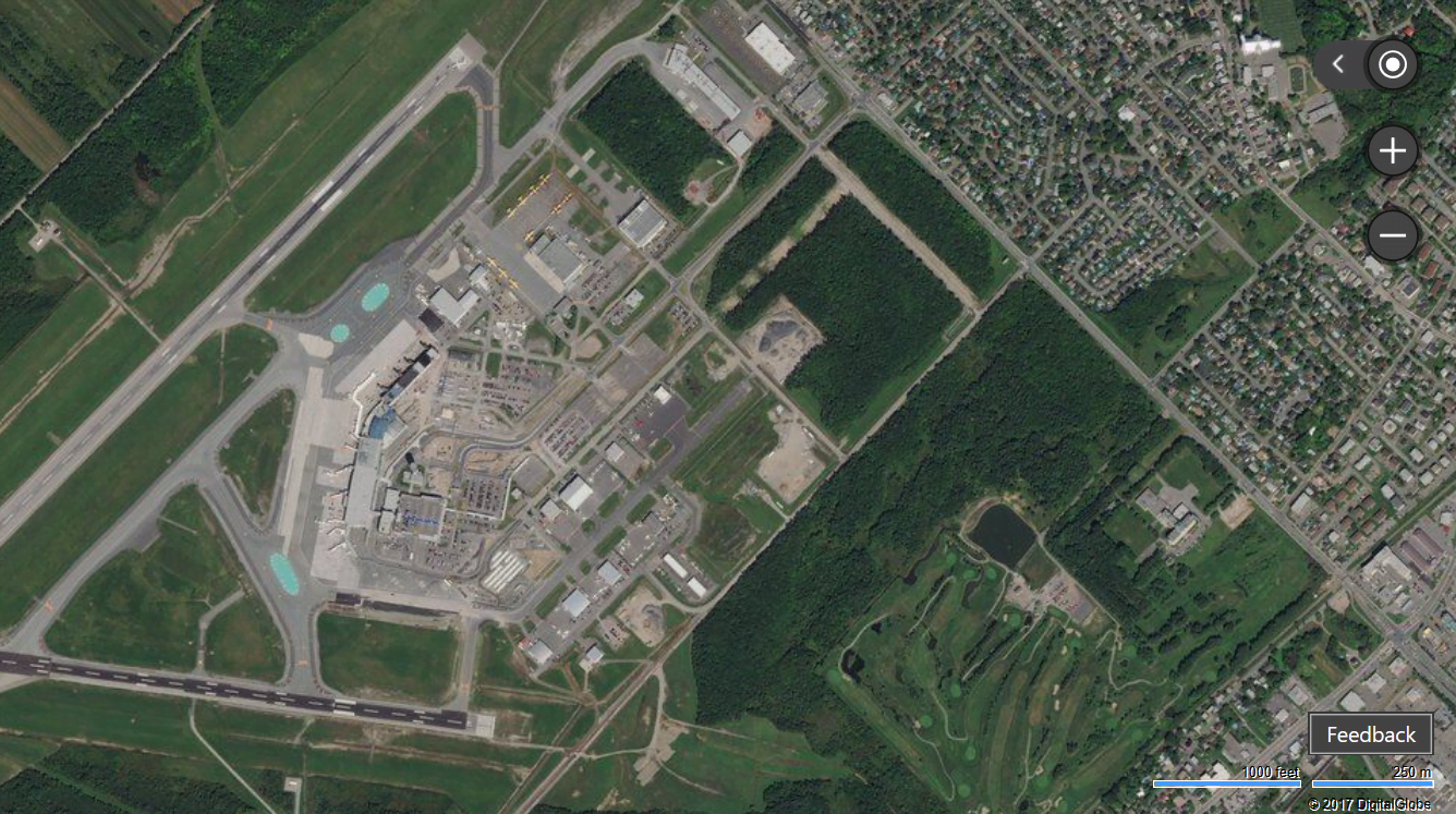
Québec City Jean Lesage International Airport
Get a pilot’s perspective when descending for a landing at the Québec City Jean Lesage International Airport. Also known as the Jean Lesage International Airport, it is the second busiest passenger airport in Quebec after Montreal-Trudeau.
See even more of Canada on Bing Maps and visit http://www.microsoft.com/maps to learn how you can incorporate maps into your app.
- The Bing Maps Team
