It is no secret the Microsoft Maps team partners with world builders from the video game industry to create experiences like Microsoft Flight Simulator 2020. Microsoft takes petabytes of high-definition aerial imagery from specialized cameras and feeds them into a specialized Azure pipeline to automatically create detailed, fully textured, 3D cities. This rich location data is used to power multiple applications which let you experience our planet - from intricate 3D city maps to the Saharan desert - using your device. Touch the map, and instead of looking straight down from above, tilt it, tap it or spin it to immerse yourself and experience the world in new ways.
The powerful mapping engine built into Windows does more than just display the detailed 3D models. Microsoft’s Map controls leverage our global database of mapping information to overlay street labels and place markers that dynamically adapt the 3D map to your vantage point. You can interact with the map to get additional information about a place, see what the view might be from a hotel window, or just browse the world as a virtual tourist with Streetside.
To visit our 3D city maps from your desktop:
1. Open the Windows Map application
2. Click on the “3D cities” list found under the “…” menu in the upper right
3. You can also type any location name in the search dialog to find interesting places
4. Set the view to “Aerial”, zoom in and press the “tilt” icon to put the city at a 3D viewing angle
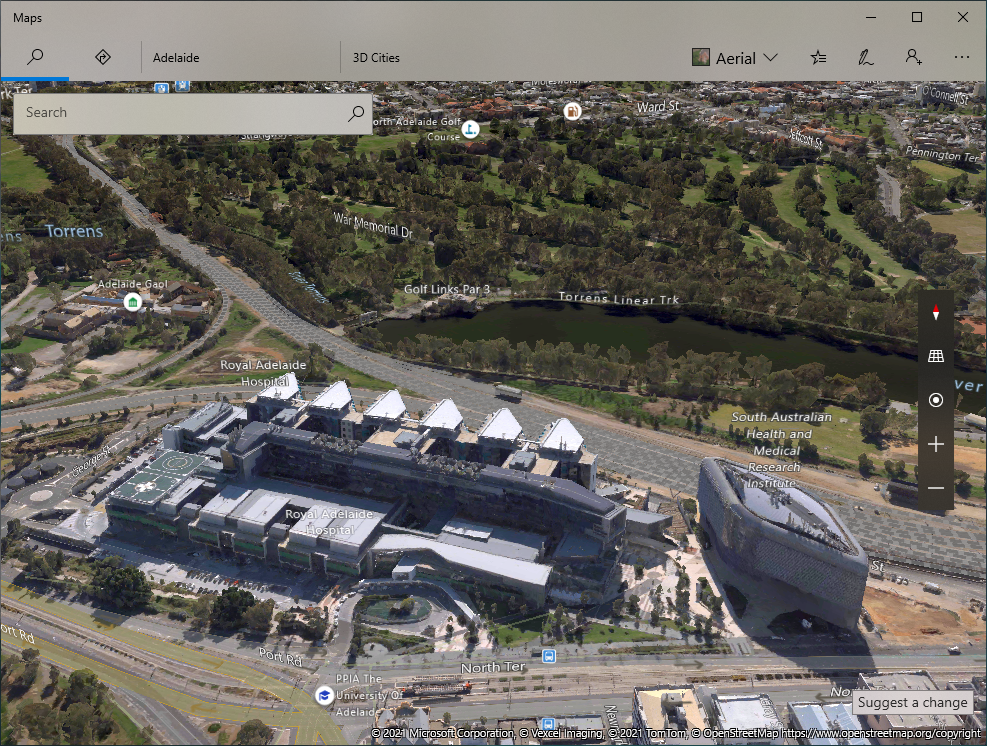
Example: Adelaide

|
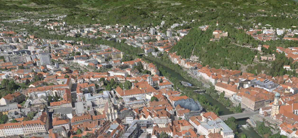
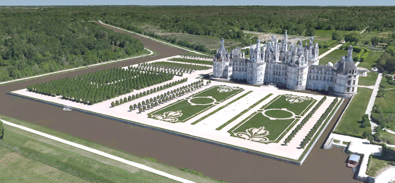
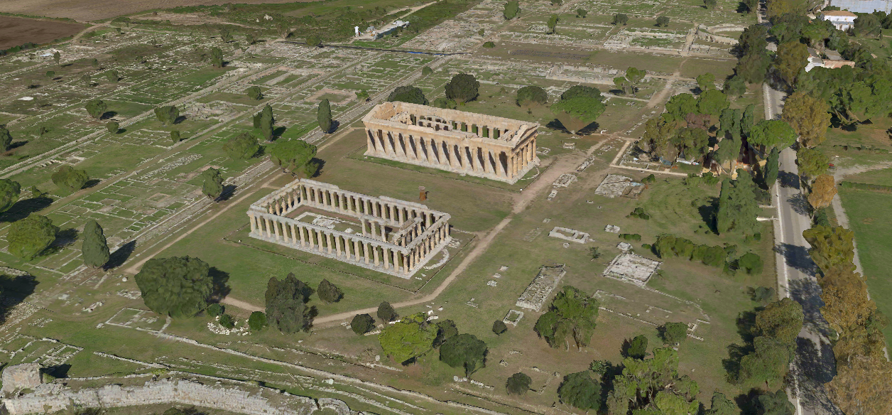
Graz, Austria  Chateau De Chambourd, France  Paestum, Italy  |
To learn more about Microsoft Maps, we recommend you check out Microsoft.com/maps where you will discover we also provide multiple control software development kits and APIs you can use to integrate our Bing maps into your solutions.

