
There is an old saying that you don’t know where you are going until you get there. With Bing Maps new route coloring feature, you will know right away where the delays will be along your selected route so you can change your route, your plans or your destination based on the route ahead!
For example, if you are leaving Redmond Town Center for Westlake Center in Seattle, you can see the delays on WA-520 W and I-90 W before you decide which route to take. Also, with our new route labels showing the travel mode, distance and time of each route, you can easily compare and toggle between the different routes quickly on the map.
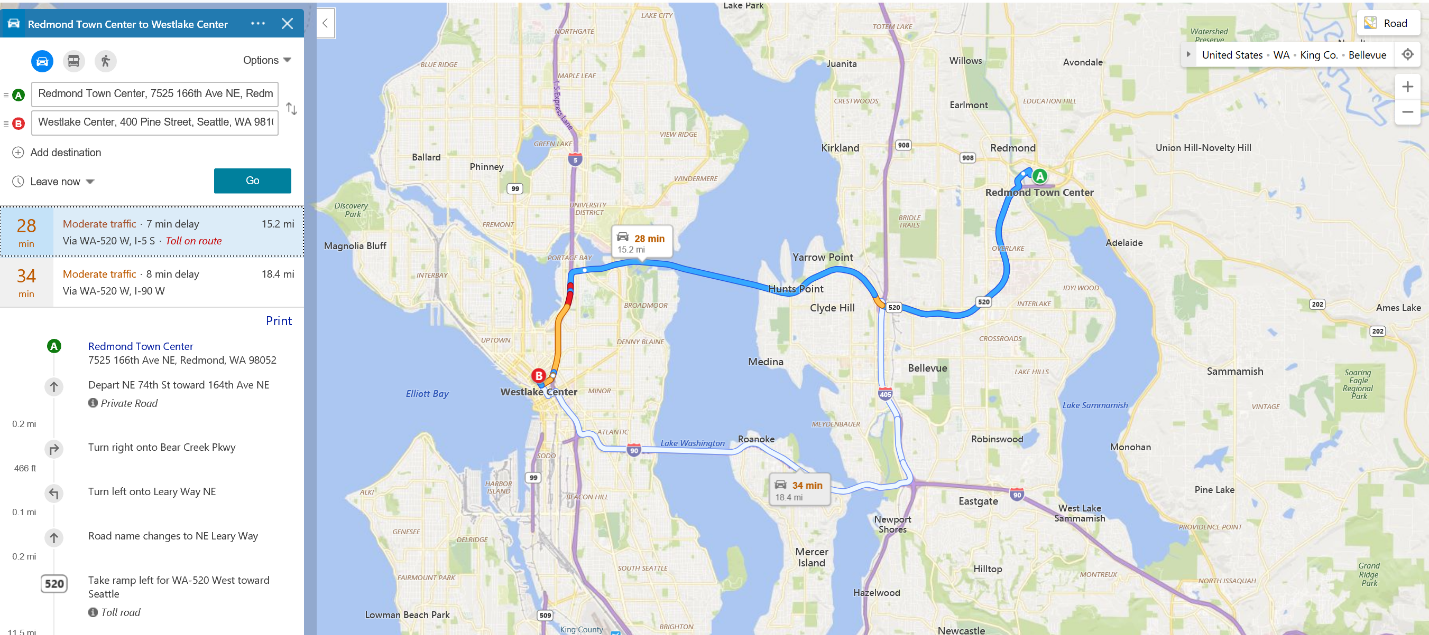
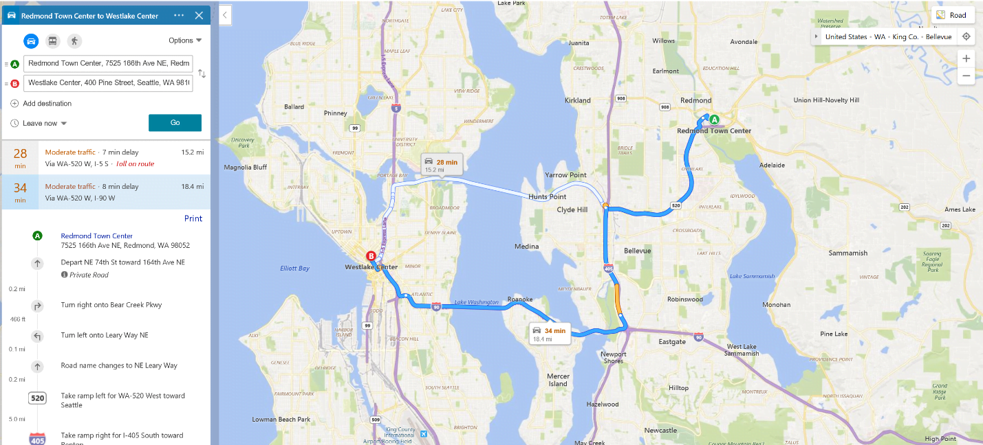
While blue means no traffic delays, the orange and red colors highlight moderate to heavy traffic delays on the route. These are calculated based on a combination of current traffic updates and predictions from historic data depending on the length of the route.
Traffic coloring not only helps you select the best route for your trip, but can also be very useful when there are major traffic delays due to inclement weather, big events, accidents, or road construction nearby. For example, if there is an MLB or NFL game in town, you can avoid the most impacted roads near the event and choose an option that offers the least delays.
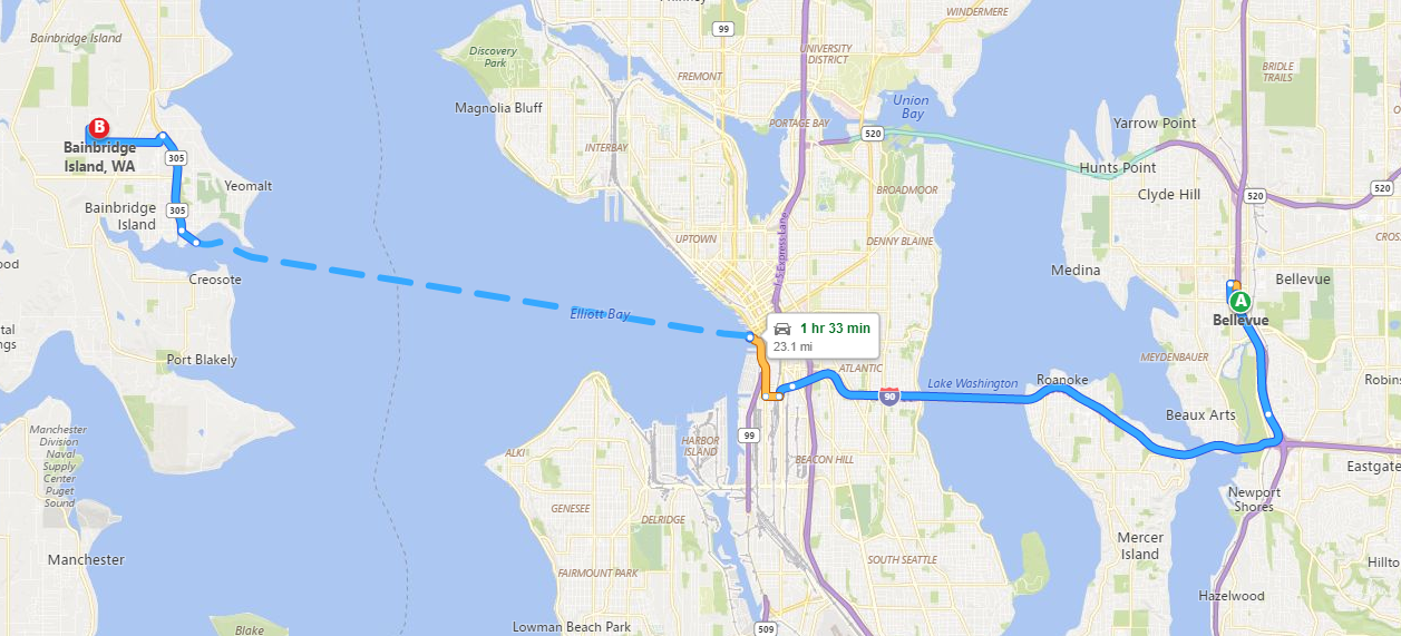
In addition, if you need to take a ferry as part of your route, Bing Maps visualizes the ferry segments using dashes to differentiate that part of the trip. The image below illustrates the route between Bellevue and Bainbridge Island in Washington State. Bing Maps highlights the ferry segment between Seattle and Bainbridge with a dashed line.
The Bing Maps Routing and Traffic Team is constantly working to make navigation and route planning easier for our users. To try out the traffic coloring feature, go to https://www.bing.com/maps.
- Bing Maps Team
