We just shipped another 9,460 square kilometers of imagery onto Bing Maps. This month’s release showcases high precision imagery for the USA, Canada and the United Kingdom. The biggest drop by far was Greater Vancouver Metro…I wonder why. Hmm? Anyone up for a little curling in Canada? O Canada! In any case, it’s all 15-30 centimeter resolution imagery, so it’s pretty stunning. We also released a refresh of the mobile tile set for vector (road) maps….more on that in another post.
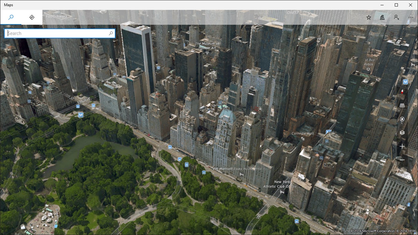
You can check out the full details of the release on the Windows Maps Application which allows you to give yourself a guided tour of the new imagery.


